F&M Stories
Satellite Images and Climate Change: What's the Connection?
Along the Desaguadero River in Bolivia's Andes Mountains, Professor of Anthropology Scott Smith studies how human relationships with the environment influenced the development and disintegration of ancient complex societies.
"For the past decade, our project has worked with a fishing community called Iruhito on the banks of the river to understand the community's long-term history, which stretches back some 3,000 years," he says.
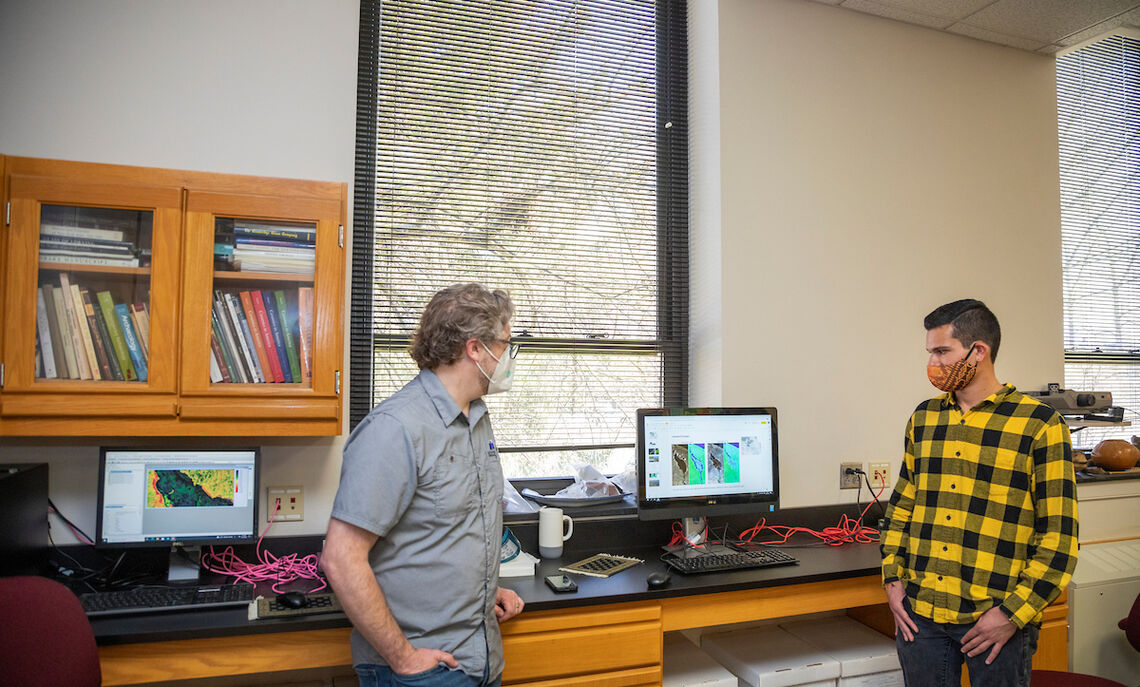
Smith's visits to Bolivia stopped when the pandemic arrived in early 2020, so he turned to 30 years of satellite images of the region to continue his research.
"The satellite imagery project became a useful way from the classroom here to take a look at what was going on in this particular place," he says.
The Franklin & Marshall professor's work drew the attention of sophomore Jean-Paul Rojas. After taking his first anthropology course, Rojas dropped his intention of majoring in computer science.
"I was very interested in entering anthropology at F&M and one thing about this school is that they have so many opportunities to get a first-time experience in the field you want to study," Rojas says.
He says the most exciting aspect of the Iruhito communities research project has been learning a new field of study, which allows him to use some of his computer science skills.
"I got to use a little bit of what I learned in my new major of anthropology and combine them together," Rojas says.
According to Smith's archaeological research, the region experienced Spanish colonialism and Inca imperialism, but part of their work focuses on the Iruhito's millennia-long dependence on a shallow river that becomes dry during drought.
"We're interested in what happens to a fishing community when the river vanishes," Smith says. "You would think that it would disappear and yet we have 3,000 years of continuous occupation."
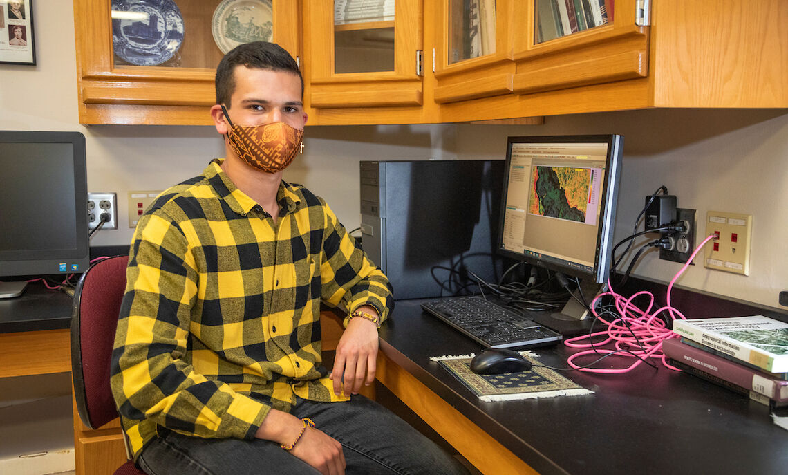
Using satellite images and his computer skills, Rojas began figuring out what the experience looks like during drought, then, from the data, determining how people endure and what resources are available to them.
"Jean-Paul hit on using this particular index as a way of making sense of the spectral data from these images, called the 'modified normalized difference water index.' It basically shows how the water contracts and expands even over the course of a few years," Smith says.
While graduate school is in his future, Rojas says he first wants to gain more experience through internships or field schools in archaeological projects.
"I want to focus on anthropological archaeology, specifically in South America and the Andes," he says.
Related Articles
May 3, 2024
Senior Spotlight: Olha Shapovalenko
A double major in mathematics and studio art, international senior Olha Shapovalenko made the most of her F&M experience. From designing theater costumes to discovering new artistic mediums, the College “enriched my creative vocabulary,” she said.
March 26, 2024
Sarah Tasker Awarded NSF CAREER Grant for Chemistry
A laboratory discovery has resulted in a prestigious National Science Foundation CAREER grant for Sarah Tasker, assistant professor of chemistry at F&M.
March 12, 2024
Mary Fouad ’24 Discovered Her Purpose While Studying Abroad
“Financial aid allowed me to study abroad and have once-in-a-lifetime experiences that inspire me to dedicate my career to doing good for the people often overlooked,” says F&M senior Mary Fouad.


